Proseries Wall Map: Florida State (R) and 50 similar items
Free Shipping
PROSERIES WALL MAP: FLORIDA STATE (R)
$266.31
(Buy a Up to 30% discount card for $30.00 first, and you will save $34.62 on this item and get up to 30% off future purchases for the next 3 months.
Unlock the discount with just a few clicks - start here)
Share & earn! Sign in, share this or any listing, and you’ll get commission when it sells.
Learn more
View full item details »

Shipping options
Estimated to arrive by Tue, Aug 11th.
Details
FREE via UPS Ground (1 to 5 business days) to United States
Return policy
Replacement product available within 30 days
Details
Purchase protection
Payment options
PayPal accepted
PayPal Credit accepted
Venmo accepted
PayPal, MasterCard, Visa, Discover, and American Express accepted
Maestro accepted
Amazon Pay accepted
Nuvei accepted
View full item details »
Shipping options
Estimated to arrive by Tue, Aug 11th.
Details
FREE via UPS Ground (1 to 5 business days) to United States
Return policy
Replacement product available within 30 days
Details
Purchase protection
Payment options
PayPal accepted
PayPal Credit accepted
Venmo accepted
PayPal, MasterCard, Visa, Discover, and American Express accepted
Maestro accepted
Amazon Pay accepted
Nuvei accepted
Item traits
| Category: | |
|---|---|
| Quantity Available: |
Only one in stock, order soon |
| Condition: |
New |
| Country/Region of Manufacture: |
United States |
Listing details
| Seller policies: | |
|---|---|
| Posted for sale: |
More than a week ago |
| Item number: |
737231829 |
Item description
PROSERIES WALL MAP: FLORIDA STATE (R)
DESCRIPTION
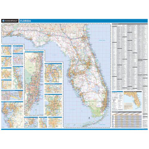
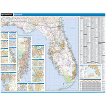
Rand McNally's Florida state wall map is ideal for anyone needing a comprehensive representation of the state for planning, routing, or reference. It's a great choice for business and sales strategy, urban development, social work outreach, education, and marketing. Florida residents, businesses, and government offices are sure to find this wonderful reference tool irreplaceable. Copyright 2018.
Note: This map is not available for gift wrapping. Please allow 7-10 days for shipping.
laminated wall map printed with UV-resistant ink to help prevent color fading
Map details include state highways, federal highways, county highways, county boundaries, city shading, cities and towns, major waterways, state/national parks, campsites, exit numbers, rest areas, military installations, airports, golf courses, universities, and much more.
City/county index, a mileage chart with 900 mileage pairs between 30 cities, and a driving times map between major cities in the region
Hanging kit with rails for easy mounting just about anywhere
COVERAGE AREA
Inset maps include: Daytona Beach; Fort Myers; Gainesville; Jacksonville; Key West; Key West downtown; Lakeland / Winter Haven; Miami / Ft. Lauderdale Vicinity; Miami downtown; Melbourne / Titusville; Naples; Orlando; Pensacola; St. Augustine; Tallahassee; Tampa Bay / St. Petersburg / Sarasota
PRODUCT DETAILS
Dimensions: 60" x 46"
Scale: 1 inch = approximately 11.1 miles
|
Why are we showing these items?
Search Results
Map, transportation"map" Category "Transportation"
|


 - $2.70")
 - $3.70")

 - $3.90")


-
Refine your browsing experience
We can show you more items that are exactly like the original item, or we can show you items that are similar in spirit. By default we show you a mix.


This item has been added to your cart
 PROSERIES WALL MAP: FLORIDA STATE (R) added to cart.
Only one available in stock
PROSERIES WALL MAP: FLORIDA STATE (R) added to cart.
Only one available in stock
View Cart or continue shopping.
 Please wait while we finish adding this item to your cart.
Get an item reminder
We'll email you a link to your item now and follow up with a single reminder (if you'd like one). That's it! No spam, no hassle.
Already have an account?
Log in and add this item to your wish list.