18th Century Dutch Map – Port Praja, St. and 49 similar items
18th Century Dutch Map – Port Praja, St. Jago (Cape Verde) – Cook’s Third Voyage
$89.00
(It may be possible to pay only $86.00 instead of $89.00 when you
use your bCredits at checkout)
Sign up and get $5.00 bCredits free to use at checkout and another $5.00 bCredits when you make your first purchase. More info
Share & earn! Sign in, share this or any listing, and you’ll get commission when it sells.
Learn more
View full item details »
Shipping options
Estimated to arrive by Thu, Jun 4th.
Details
$25.00 via Standard shipping (1 to 5 business days) to United States
Ships from
Australia

Offer policy
OBO - Seller accepts offers on this item.
Details
Return policy
Full refund available within 30 days
Details
Purchase protection
Payment options
PayPal accepted
PayPal Credit accepted
Venmo accepted
PayPal, MasterCard, Visa, Discover, and American Express accepted
Maestro accepted
Amazon Pay accepted
Nuvei accepted
View full item details »
Shipping options
Estimated to arrive by Thu, Jun 4th.
Details
$25.00 via Standard shipping (1 to 5 business days) to United States
Ships from
Australia
Offer policy
OBO - Seller accepts offers on this item.
Details
Return policy
Full refund available within 30 days
Details
Purchase protection
Payment options
PayPal accepted
PayPal Credit accepted
Venmo accepted
PayPal, MasterCard, Visa, Discover, and American Express accepted
Maestro accepted
Amazon Pay accepted
Nuvei accepted
Item traits
| Category: | |
|---|---|
| Quantity Available: |
Only one in stock, order soon |
| Condition: |
Excellent overall |
| Maker: |
unknown |
| Type: |
Nautical Map |
| Original/Reproduction: |
Antique Original |
| Date Range: |
1700-1799 |
| Year: |
1774 |
| Country/Region: |
Cape Verde |
| Printing Technique: |
Copper Plate |
| California Prop 65 Warning: |
California Prop 65 warning not applicable |
| City: |
Cape Verde |
| Format: |
Maritime |
Listing details
| Seller policies: | |
|---|---|
| Shipping discount: |
No combined shipping offered |
| Posted for sale: |
More than a week ago |
| Item number: |
1793906570 |
Item description
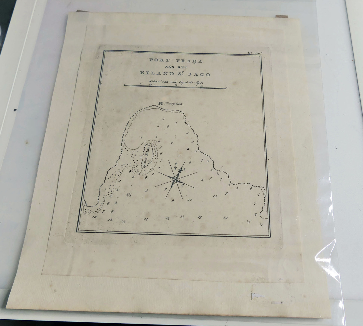
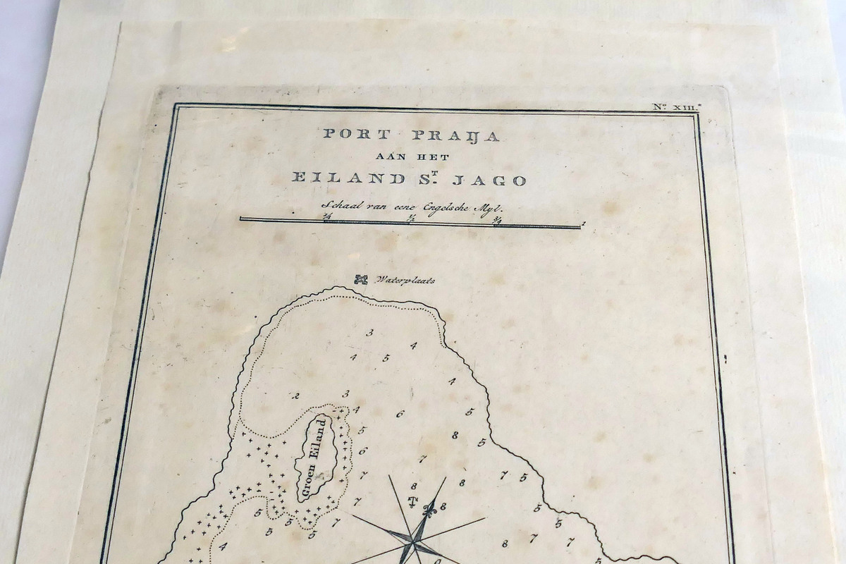
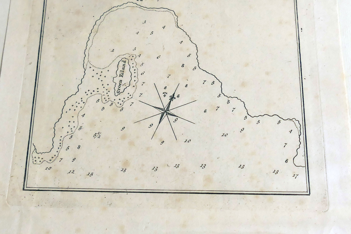
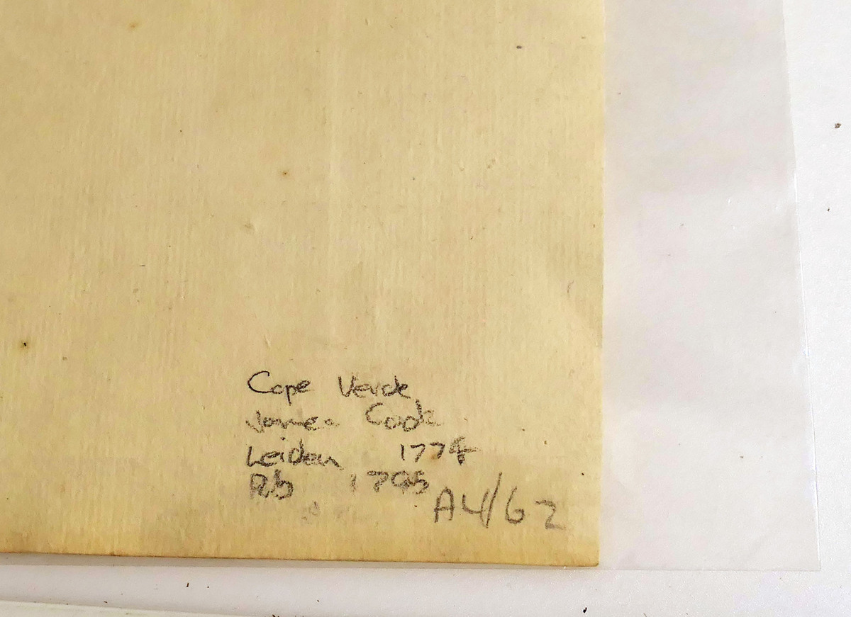
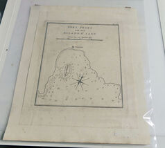
Original 18th?century engraved nautical chart titled “Port Praja aan het Eiland St. Jago” (Port Praia, Island of Santiago), Plate XIII from the Dutch edition of Captain Cook’s Third Voyage. Printed in Amsterdam in the late 1700s as part of the Dutch translation of the official Cook voyage atlas.
Shows Port Praia, depth soundings, anchorage, “Waterplaats,” Vicom Island, and coastline detail. Engraved in Dutch with the original scale bar (Schaal van een Engelsche Myl).
Condition: Clean and well?preserved. Photographed through a protective archival sleeve; the map itself is crisp with no damage. Paper shows expected age toning consistent with 18th?century printing.
Details:
Plate No. XIII
Dutch edition of Cook’s Voyages
Late 18th?century Amsterdam printing
Original copperplate engraving
Not a reproduction
Suitable for framing or collection
A genuine historical chart from the era of Cook’s exploration, ideal for collectors of maritime history, cartography, or early voyage literature.
Map size 21cm x 26cm, will be shipped rolled in a tube.
|
Why are we showing these items?
Search Results
Map, maps, atlases & globes"map" Category "Maps, Atlases & Globes"
|


 - $4.90")


-
Refine your browsing experience
We can show you more items that are exactly like the original item, or we can show you items that are similar in spirit. By default we show you a mix.
This item has been added to your cart
 18th Century Dutch Map – Port Praja, St. Jago (Cape Verde) – Cook’s Third Voyage added to cart.
Only one available in stock
18th Century Dutch Map – Port Praja, St. Jago (Cape Verde) – Cook’s Third Voyage added to cart.
Only one available in stock
View Cart or continue shopping.
 Please wait while we finish adding this item to your cart.
Get an item reminder
We'll email you a link to your item now and follow up with a single reminder (if you'd like one). That's it! No spam, no hassle.
Already have an account?
Log in and add this item to your wish list.